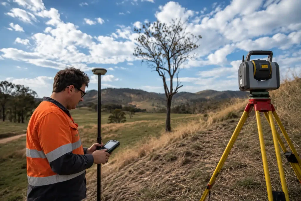
Six weeks. That’s how long a redesign cost one of our clients last year after he found out, the hard way, that the fence his neighbour built in the nineties wasn’t sitting anywhere near the actual title boundary. He’d already had concept drawings done for a three lot split in Ipswich. Nice drawings too. Problem was they were drawn around a boundary that existed on paper but not on the ground, and the gap was close to a metre in one corner. Not exactly a rounding error when you’re trying to hit minimum frontage on a tight infill block.
Stories like that are why we always push developers to get a surveyor involved before the concept plan, not after. So let’s get into what a Subdivision Survey actually is, what it involves on the ground and in council offices, and where the real cost and time sinks tend to hide.
What A Subdivision Survey Actually Means
Land surveyors are the critical foundation of the subdivision process. At its simplest, it’s the process of taking one part of land under a single title and legally splitting it into two or more parts, each getting its own title. It falls under cadastral surveying, the branch of surveying dealing with legal land boundaries rather than the physical stuff sitting on top of the land.
Queensland regulates this through the Land Title Act and the Survey and Mapping Infrastructure Act. Only a Cadastral Surveyor registered with the Surveyors Board of Queensland can certify the plan, and that’s not red tape for the sake of it. Once a survey plan is registered, it becomes the permanent legal record for that land. Every future sale, mortgage or dispute traces back to it, sometimes decades later, so the accuracy matters more than most people realise going in.
Practically, that means confirming or re establishing the boundaries of the original lot, designing new lots that comply with the approved development permit, then preparing and lodging a plan through to registration. Almost always it starts with a Boundary Survey of the existing parcel. You genuinely cannot create reliable new boundaries without first knowing exactly where the old ones actually sit, not where people assume they sit.
Why Bringing In A Surveyor Early Matters
Here’s a pattern we see constantly. A developer gets excited about a site, sketches a lot yield based on the title description alone, and starts pitching the numbers to investors before anyone’s confirmed the boundary on the ground. Then reality intrudes.
An early Identification Survey pins down where your boundaries actually sit against the registered plan. It sounds like a small thing, and most of the time it is uneventful, boundaries line up close enough. But when they don’t, you find out during feasibility instead of after you’ve lodged an application and started spending real money on engineering and planning fees.
Council isn’t going to wait for you to catch up either. Every planning scheme in Queensland has its own minimum lot sizes, frontage requirements, access rules and overlay considerations for things like flooding or bushfire risk. An easement running through where you’d planned a new boundary line is the kind of thing you want flagged in week two, not week twelve when an assessment officer sends it back to you.
And then there’s the money side. Banks and buyers signing contracts off the plan want something solid behind the numbers. A registered survey plan gives them that. A hand sketched concept, less so.
How The Process Runs
No two sites are identical, but the shape of the work tends to follow a similar path.
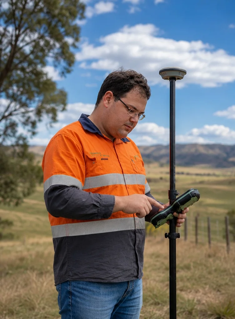
We start by digging through history: deposited plans, old survey marks, title records, sometimes going back generations on rural blocks. Field crews then go out and locate whatever boundary pegs still exist, reinstating anything that’s been lost or disturbed over the years by fencing, landscaping or general wear. This alone often settles questions that have quietly sat unresolved for decades.
From there, depending on the site, we’ll usually run a Contour Survey or Detail Survey, capturing ground levels, structures, vegetation and drainage patterns. Civil engineers need this to design stormwater and road infrastructure properly, and it’s a lot cheaper to spot a drainage issue on a plan than halfway through earthworks when the excavator’s already on site.
Lot design comes next, shaped by whatever the local planning scheme allows, feeding into a Reconfiguring a Lot application lodged with council. Expect it to bounce back a few times. Conditions around infrastructure charges, easements or road widening are common enough that we build the back and forth into our timelines rather than treat it as a surprise.
Once approval lands and conditions are met, whether that’s finished civil works or dedicated easements, the survey plan gets finalised and lodged for registration. Only then do the new titles actually exist. Not before, no matter how far along the sale process might already be.
Torrens, Staged, Or Community Title, Which One Applies To You
A simple Torrens Title subdivision, splitting one block into two freehold lots, is usually the fastest path. Separate titles, no shared ownership, nothing complicated hanging over it.
Bigger estates tend to run as staged subdivisions instead. Council approves the overall masterplan up front, then each stage gets surveyed and registered as it’s built and sold off. This suits developers who want to match civil works spend to presales rather than fund the whole project in one hit, though it does mean the surveying work stretches across the entire life of the development rather than wrapping up in a single event.
Community title and Building Format Plan subdivisions, common in townhouse and unit projects, bring shared common property and body corporate arrangements into the mix, sometimes with volumetric boundaries where one lot sits above or below another inside the same building. This is meaningfully more technical, and not every surveying firm has genuine depth here, worth asking about directly before you engage anyone.
Where Developers Keep Tripping Up
Fences aren’t boundaries. People treat them as if they are, all the time, and it comes back to bite them on tight infill sites where every centimetre of frontage counts toward compliance.
Waiting until after the development application is lodged to get survey work done. Council often wants boundary or feature data as part of the assessment itself. Scrambling to produce it afterward burns time that never needed to disappear in the first place.
Forgetting old easements exist. A drainage or sewer easement nobody’s thought about for twenty years can dictate exactly where your new lot lines are allowed to fall, and it won’t surface until someone actually goes looking for it in the title.
Not lining up contour data with flood overlay mapping early enough. Do this at feasibility stage and your lot yield can genuinely change, sometimes for the better, if a drainage solution can be engineered around the constraint instead of designed around it too late.
Realistic Timeframes
A clean two lot split with solid existing boundary evidence might only need a few weeks of survey and plan preparation work. Council is usually the bigger variable. Assessment periods and conditions, particularly anything requiring civil works to be built and inspected before registration, generally dictate the overall schedule far more than the surveying itself does. Bigger staged projects naturally stretch out longer, simply because there’s more coordination required between engineers, council and the survey team across the full life of the job.
If we had to give one piece of advice to every developer walking through our door, it would be this. Bring the surveyor in during feasibility, not after the application’s already sitting with council. It costs next to nothing extra at that stage and it consistently saves real time later.
Costs Involved
It varies more than people expect. Number of lots, how complex the site is, how much existing boundary evidence there is to work with, and whether you’ll also need a Construction Survey and Set Out Survey once civil works get underway. A straightforward two lot split on a suburban block with clear boundary evidence sits toward the lower end. A multi stage estate involving volumetric titling or a messy boundary history costs more, because there’s simply more research, field time and drafting sitting behind it.
Every client gets a fixed, itemised quote before we start, so it can actually be built into feasibility calculations rather than guessed at halfway through.
Choosing Who Does The Work
Not every firm handles the full breadth of subdivision work equally well. Look for current cadastral registration, real project experience across Torrens, staged and community title work, and the capability to carry through into Contour Survey, Detail Survey and Construction Surveys work once approval comes through. Keeping the boundary and construction phases with one team avoids the gaps that show up when consultants change hands halfway through.
We’ve been doing this across South East Queensland for a long while now, working alongside developers, builders and civil contractors from the very first feasibility conversation right through to the final as constructed plan. There’s more on how we approach that on our About Us page.
A subdivision survey is rarely the part of a project anyone gets excited about, but it’s often the thing quietly deciding whether the whole development runs to schedule or grinds to a halt somewhere in the middle. Bring the surveyor in early, treat boundary and site data as a genuine feasibility tool rather than paperwork you’ll get to eventually, and council assessment stops feeling like a lottery. Whether it’s a straightforward one into two split or a multi stage residential estate, getting a registered cadastral surveyor at the table early is about the simplest thing you can do to keep momentum on your side.
Weighing up a site anywhere in Queensland, or somewhere further afield? Contact Us and we’ll talk through exactly what your block would involve.