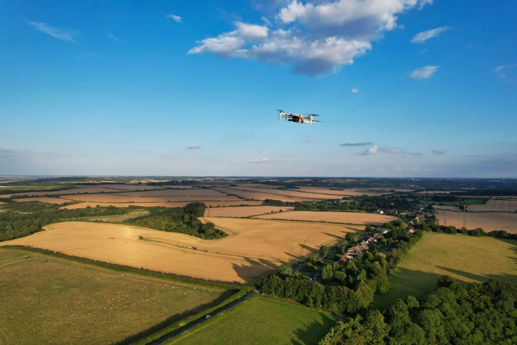
UAV/Drone surveys allow the capture of survey information from an aerial perspective, captured imagery and video allow measurements to be made to all visible features. Thermal and multi-spectral cameras can also be deployed allowing enhanced visualisation, inspection, and measurement options.
Ideally suited to broad acre and long line terrain surveying and modelling, UAV/Drone surveys have the ability to cover long distances and large areas efficiently and safely.
Remote operation, measurement and high-resolution video and imagery capture offers greater ability to inspect difficult to access building facades, features, structures and situations; some examples include mobile phone towers, bridges, multi-storey buildings, bridges, sub-stations, transmission poles/lines and disaster recovery/management.
Our land surveyors combine accurate GNSS/RTK (Global Navigation Satellite System/Real-Time Kinematic) observations and traditional surveying measurements and technology we can provide greater accuracy in the captured data by utilising advanced surveying quality assurance and validation methodologies.
UAV services include:
- Photogrammetry
- Imagery
- Videography
- Thermal Imagery
- Multi-Spectral Imagery
- Inspection
- Vegetation Mapping & Monitoring
- Broad Acre Survey
- Long Line Survey
- Time-lapse Progress Visualisation
- Quantity Verification
- Volume Monitoring & Calculations
- Disaster Response
- Data Preparation & Management
Drone Surveying & Mapping Solutions
Leading Surveys provides advanced UAV Mapping, UAV & Drone inspections across Brisbane and South East Queensland. Our vast operations are led by experienced surveyors who understand how to interpret complex imagery and use this data in a meaningful and integrated way that benefits your project needs. We process captured data into detailed Digital Elevation Models (DEM’s), Digital Terrain Models (DTM’s) and 3D Surface Models that seamlessly transition into your construction, engineering and planning workflows.
When compared to traditional ground-based surveying methods such as theodolite and chain tape surveying, it can be a very time consuming, hazardous and an impractical process. Drone based technology, drone mapping and drone thermal imagery offers a faster, cost-effective alternative without compromising on data quality or spatial accuracy.
At Leading Surveys, we pride ourselves on providing high quality drone mapping and surveying technology in Brisbane and across Australia. Our drone operators are fully licensed and compliant with CASA regulations, ensuring every flight is conducted in a safe and legal manner.
Before we commence any drone work, we also make sure to conduct a thorough site inspection – with full regard for site specific requirements and airspace restrictions. This ensures a seamless, safe and productive outcome on every project.
UAV Surveying & Inspections – Australia
When conducting UAV inspections, this offers a safer, faster and cost-effective alternative to other traditional methods such as scaffolding, elevated work platforms and rope access. Whether you’re after vegetation mapping, broad acre survey or data preparation management, Leading Surveys can give your business the information needed to help manage risk and extend the life of your valuable asset.
Leading Surveys offers comprehensive data preparation and management services, ready for immediate use by your project team. This is formatted and quality checked thoroughly prior to handover. No matter how big or small the project, you can rely on us for all your UAV capability requirements. We add value to a range of industries spanning building and construction, agriculture and emergency services projects.
For professional drone surveying services in Qld, get in touch with Leading Surveys today.